The Silent Battlefield: How PNT Systems Are Shaping Modern Warfare
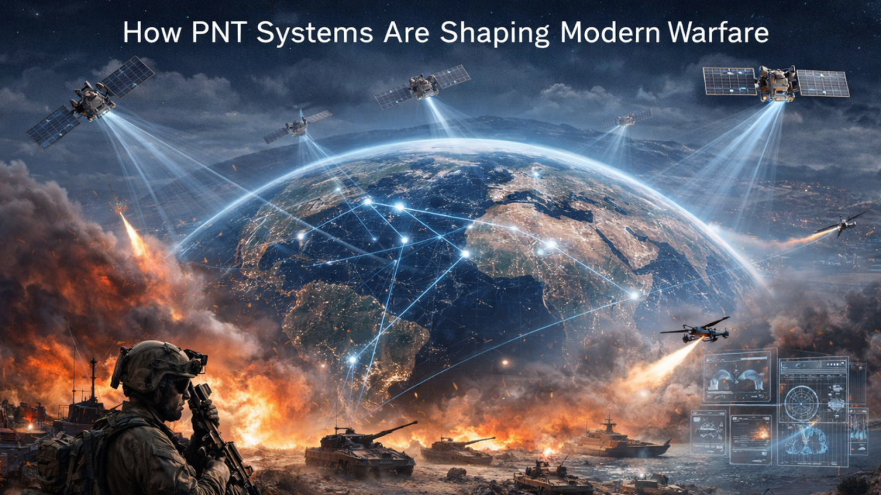


When news of the Iran and US–Israel tensions began dominating headlines, most of the world saw the familiar images of how wars are fought - missiles launched, airstrikes carried out, and naval deployments escalating across the region.
Once the United States launched Operation Epic Fury, oil prices reacted instantly. Governments issued warnings, Military analysts filled television studios explaining escalation scenarios as details of the strikes began emerging.
Yet what we see in the news is only the visible layer of modern warfare.
Behind these systems exists a hidden network of technologies that powers modern military operations. Today, a large part of how wars are coordinated, guided, and executed depends on technologies operating far beyond the battlefield - systems orbiting hundreds to thousands of kilometers above the Earth.
Modern Wars No Longer Stay on the Battlefield
In recent years, warfare has increasingly been shaped by technologies such as cyber capabilities, artificial intelligence, and autonomous drone systems. These technologies influence how militaries gather intelligence, analyze threats, and execute operations.
Many of these capabilities rely heavily on satellites operating in orbit.
One of the most critical satellite services is Positioning, Navigation, and Timing (PNT). Drones, aircraft, and naval vessels rely on satellite navigation signals to determine their precise position, follow programmed routes, and reach their intended targets.
Why Space Has Become Critical to Modern Warfare
Modern military operations rely heavily on satellite systems that provide precise positioning and timing signals across the globe, without which many platforms would struggle to operate with the same level of coordination and accuracy.
A drone navigating long distances, for instance, needs accurate location data. A missile guidance system requires precise positioning and timing.
In addition to navigation, satellite systems also provide precise timing signals that keep modern systems running in sync. From coordinating military communications and radar operations to keeping telecom networks and financial transactions aligned, many of the systems that power the modern world rely on this shared clock from space.
All of this depends on a category of technology known as Global Navigation Satellite Systems (GNSS) - satellite constellations that provide positioning, navigation, and timing services worldwide.
The most widely known of these systems is the U.S. Global Positioning System (GPS). However, several major powers operate their own navigation systems, including:
GLONASS - Operated by Russia
BeiDou - Operated by China
Galileo - Operated by the European Union
Despite the presence of other systems, GPS remains the most widely relied-upon navigation service globally. A vast number of civilian and military platforms - from aircraft and ships to drones and communication networks - depend on GPS signals for positioning and precise timing.
When It Becomes a Vulnerability
A regional conflict in 2025 demonstrated how vulnerable satellite navigation systems can be in modern warfare. Israeli electronic warfare operations reportedly disrupted GPS signals guiding Iranian drones and munitions through high-power jamming and spoofing techniques that interfered with satellite navigation signals. As a result, several Iranian drones lost positional awareness mid-flight, veering off course or failing to reach their intended targets. The episode highlighted how heavily modern military systems depend on satellite navigation signals.
The disruptions also exposed a broader geopolitical dimension. In the aftermath of these incidents, Iranian officials began exploring greater reliance on alternative navigation systems, including China’s BeiDou satellite network, in an effort to reduce dependence on the U.S.-operated GPS infrastructure. Analysts noted that Iran had already begun increasing its use of BeiDou signals as early as 2021.
Fast forward to 2026, as tensions in the region escalate once again, satellite navigation has once more become part of the battlefield.
The conflict has involved large-scale deployment of missiles and drones. According to the Jewish Institute for National Security of America (JINSA), Iran has launched more than 1,000 missiles and 2,200 drones during the conflict, while U.S. Central Command reports that U.S. and Israeli strikes have hit over 5,500 targets inside Iran, including more than 60 ships.
Reports from the current conflict suggest that GPS interference is again affecting Iranian systems, highlighting how electronic warfare targeting navigation signals continues to shape modern military operations.3
Iranian officials themselves acknowledged the issue. As Iran’s deputy communications minister Ehsan Chitsaz noted while discussing navigation disruptions, “At times, disruptions are created on this system, and this very issue has pushed us toward alternative options like BeiDou.”
These disruptions are typically carried out through techniques such as jamming and spoofing. Jamming overwhelms satellite signals with powerful radio interference, preventing receivers from acquiring reliable positioning data. Spoofing goes a step further, transmitting deceptive signals that cause navigation systems to calculate false locations. In modern conflicts, these techniques can degrade the accuracy of drones, guided munitions, and other systems that rely heavily on satellite navigation.
The impact of navigation interference has not been limited to military systems. As tensions escalated in the region, disruptions around the Strait of Hormuz began affecting commercial shipping as well. The narrow waterway carries roughly one-fifth of the world’s oil supply, making it one of the most critical energy corridors in the global economy.1
Recent reports indicate that widespread GPS interference across the Gulf has complicated navigation for commercial vessels and aircraft. More than 1,000 ships in the region have experienced navigation disruptions, illustrating how electronic warfare targeting satellite navigation can ripple far beyond the battlefield.
The effects have even spilled into everyday digital services. In some cases, GPS interference around Iran has caused delivery drivers and mapping applications to display incorrect locations, occasionally placing users in the middle of the sea, offering a small but striking reminder of how fragile satellite navigation signals can be when disrupted.
Satellite Imagery and the Intelligence Layer of Modern Warfare
Navigation signals are one layer of the space infrastructure shaping modern conflicts. Another critical capability comes from space-based surveillance, which allows militaries to monitor activity across vast geographic areas.
Iran had attempted to build its own reconnaissance capability, launching the Noor-3 military satellite in 2023, but with a resolution of around five meters its imaging capability remains limited compared with advanced space powers.
Satellite imagery released by Chinese commercial space companies has increasingly provided visibility into military activity in the region. Firms such as Chang Guang Satellite Technology, operator of the Jilin-1 satellite constellation, along with companies including MizarVision, have published high-resolution imagery tracking U.S. military bases and deployments across the Middle East during the conflict.
What This Conflict Reveals
The recent tensions in the Middle East offer a reminder that modern conflicts are shaped not only by weapons on the ground, but also by the infrastructure that enables them. Behind missile strikes, drone operations, and coordinated military movements lies a complex network of space-based systems that provide positioning, navigation, timing, and intelligence.
The strategic importance of these signals extends far beyond the battlefield. According to the European Union Space Programme Agency’s GNSS Market Report, the global economy enabled by satellite navigation services is projected to exceed $500 billion annually.9 A study by the U.S. National Institute of Standards and Technology (NIST) estimated that the Global Positioning System (GPS) has generated roughly $1.4 trillion in economic benefits for the United States since the 1980s, reflecting how deeply satellite navigation and timing are embedded in modern infrastructure. The same study estimated that a widespread disruption of GPS services today could cost the U.S. economy at least $1 billion per day, even before accounting for broader geopolitical or security impacts.
Satellite navigation and timing capabilities form a critical foundation for both civilian infrastructure as well as modern defence systems.
Recognizing the importance of these capabilities, India developed NavIC, a regional satellite navigation system that provides positioning and timing services across India and nearby regions.
Recently, one of the NavIC satellites in orbit reached the end of its operational life but even with a limited number of operational satellites, NavIC signals can still enhance regional coverage when used together with other GNSS systems.
Beyond existing GNSS constellations, major space powers like the United States, Europe, China, and Japan are increasingly investing in Low Earth Orbit (LEO) PNT architectures to strengthen positioning and timing capabilities.
VyomIC is building a constellation of Low Earth Orbit (LEO) satellites designed to deliver extremely precise positioning (centimeter-level) and timing (nanosecond-level) signals that are spoofing-proof and jamming-resistant.
It reflects a broader shift in how positioning and timing capabilities are beginning to evolve worldwide.
In the future, strategic power may depend not only on military strength on land, sea, or air, but on who controls the signals in space that guide the world below.
References
- “China’s satellites over West Asia: A silent shield for Iran.” n.d. TheCradle. https://thecradle.co/articles/chinas-satellites-over-west-asia-a-silent-shield-for-iran.
- Defence Security Asia. 2026. “Iran Abandons US GPS for China’s BeiDou, Redrawing the Strategic Map of Middle East Electronic Warfare.” February 5, 2026. https://defencesecurityasia.com/en/iran-abandons-us-gps-china-beidou-middle-east-security/.
- Defence Security Asia. 2026. “GPS Crippled, BeiDou Takes Over: How Iran's Satellite Pivot During the 12-Day War Exposed Western Navigation Vulnerabilities.” March 7, 2026. https://defencesecurityasia.com/en/iran-beidou-satellite-navigation-twelve-day-war-gps-jamming-israel-electronic-warfare/.
- Doornbos, Caitlin. 2026. “Hezbollah's escalation shows how hard Israel and US hit Iran, IDF says.” NY Post, March 12, 2026. https://nypost.com/2026/03/12/world-news/hezbollahs-escalation-shows-how-hard-israel-and-us-hit-iran-idf-says/.
- “Economic Benefits of the Global Positioning System to the U.S. Private Sector Study.” n.d. NIST. https://www.nist.gov/news-events/news/2019/10/economic-benefits-global-positioning-system-us-private-sector-study.
- “EUSPA EO and GNSS Market Report.” n.d. EU Agency for the Space Programme. Accessed March 17, 2026. https://www.euspa.europa.eu/sites/default/files/2024-03/euspa_market_report_2024.pdf.
- Finnerty, Ryan, and Greg Waldron. 2026. “Chinese satellites track US military aircraft and carriers during Iran strikes.” FlightGlobal, March 2, 2026. https://www.flightglobal.com/fixed-wing/chinese-intelligence-company-tracking-us-military-assets-during-iran-operations/166498.article.
- Inside GNSS. 2026. “GNSS Interference Complicates Navigation as Hormuz Shipping Disruption Deepens.” March 2, 2026. https://insidegnss.com/gnss-interference-complicates-navigation-as-hormuz-shipping-disruption-deepens/.
- Krzyzaniak, John. 2024. “Chabahar: The Gateway to Iran’s Space Future?” Iran Watch, August 23, 2024. https://www.iranwatch.org/our-publications/articles-reports/chabahar-gateway-irans-space-future.
- WSJ. 2026. “Iran's Missile Launches Have Fallen Sharply Since Start of War, Data Shows.” March 10, 2026. https://www.wsj.com/livecoverage/iran-war-us-israel-trump-2026/card/iran-s-missile-launches-have-fallen-sharply-since-start-of-war-data-shows-BbPyMTNJsI65M1bkwToM?

.jpg)